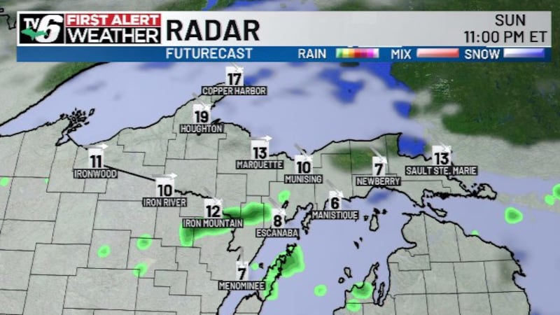
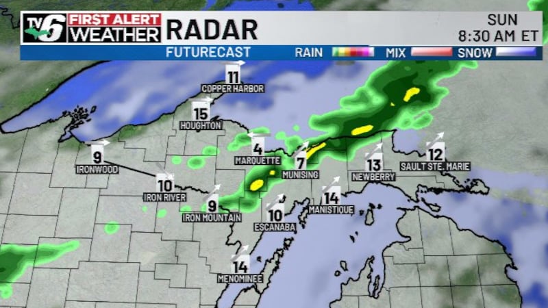
FIRST ALERT: Active pattern ahead with rain, few t-storms plus midweek warm-up
Last week of October brings rounds of rain, few storms plus brief warm-up across the U.P.
NWS alerts in effect HERE.
MI DNR burn restrictions HERE.
Drought monitor updates HERE.
Radar, hourly forecasts and more with the free TV6 First Alert Weather App.
Passing systems from the Canadian Prairies and Great Plains deliver periodic rain and thunderstorms to close out the last week of October in Upper Michigan. Temperatures trend around the seasonal average, with a brief warm-up to come Wednesday.
Tonight: Mostly cloudy with scattered rain west to east through morning; brief morning rain/snow mix mainly in high terrain; frosty
>Lows: 30s to Lower 40s
Tuesday: Mostly cloudy with scattered rain mainly west and central; breezy
>Highs: Upper 40s to 50s
Wednesday: Mostly sunny before scattered rain, few thunderstorms overnight; breezy and warm
>Highs: 60s/70
Thursday: Mostly cloudy with scattered rain, few thunderstorms early before tapering in the afternoon; cooler
>Highs: 50s
Friday: Mostly sunny
>Highs: 50s
Saturday, Halloween: Increasing clouds overnight with scattered rain, isolated thunderstorms
>Highs: 50s/60
Sunday, Daylight Savings Time ends and November begins: Mostly cloudy with scattered rain, isolated thunderstorms
>Highs: 50s/60
Monday: Mostly cloudy to overcast with scattered rain and thunderstorms
>Highs: 50s/60
Copyright 2026 WLUC. All rights reserved.