FIRST ALERT: Minimal storm chances
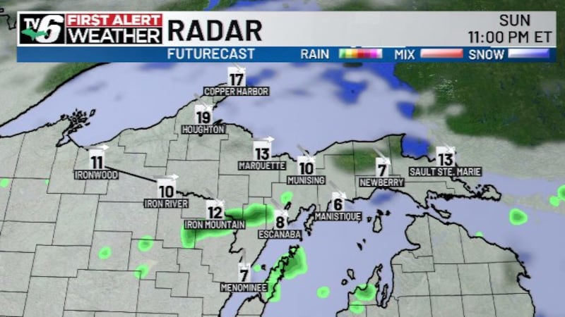
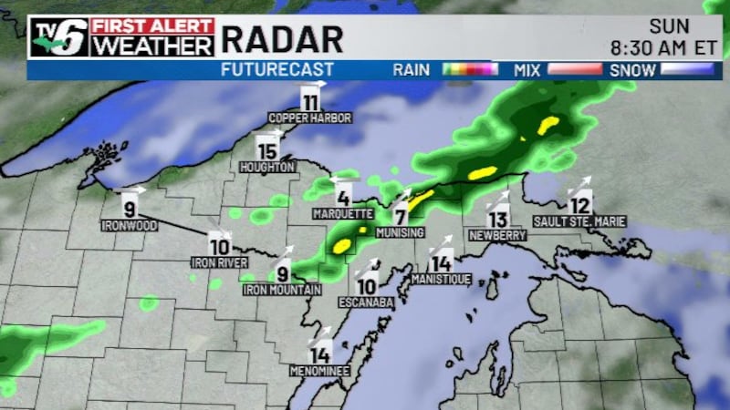
MARQUETTE, Mich. (WLUC) -Two clusters of thunderstorms could clip portions of the U.P. over the next twenty-four hours.
Download the First Alert Weather App here
The first round of storms forms in Wisconsin and moves in across the Southern U.P. by late morning. The second round comes out of Minnesota and moves in by midnight across the Western U.P. Severe weather is not expected.
Outside of isolated showers, the weekend is trending dry. Models hint at more widespread, soaking rain next Tuesday into Wednesday. A seasonably warm pattern is expected to continue well into next week.
Today: Becoming partly cloudy with a chance of thunderstorms
>Highs: Upper 70s to low 80s inland, mid 70s at shores
Friday: Chance of early morning thunderstorms
>Highs: Mid to upper 70s
Saturday: Mostly sunny with isolated showers
>Highs: Low 70s at shores, mid to upper 70s inland
Sunday: Mostly sunny and warmer
>Highs: Upper 70s to low 80s
Monday: Partly cloudy with scattered thundershowers
>Highs: Mid to upper 70s
Tuesday: Cloudy with rain and thunderstorms
>Highs: Upper 70s west, low 70s east
Wednesday: Partly cloudy and warmer
>Highs: Low to mid 80s
The video above will feature the TV6 livestream until staff can clip the corresponding story, if available, from broadcasts or other TV6 content. You can subscribe to our YouTube page or download TV6+ to stream the latest local news and weather.
Copyright 2026 WLUC. All rights reserved.